
EOS Data Analytics, one of the leading providers of geospatial data for the agricultural industry, has enhanced its EOSDA LandViewer service. It now offers the function of instructing satellites to photograph a specific area of the surface in the future.

EOSDA LandViewer service update
EOS Data Analytics, one of the world’s leading geospatial data providers, has enhanced its EOSDA LandViewer service. The company specializes in providing agriculture and agribusiness with data collected by vehicles in orbit.
To this end, EOS Data Analytics provides its customers with easy access to imagery through the EOSDA LandViewer. This allows customers to examine images from equipment from different manufacturers and find out what condition their areas of interest are in.
One of the features of EOSDA LandViewer is the ability to compare two images of the same field taken at different times. This allows you to draw conclusions about what changes have occurred in the plants.
Now the company has taken the next step. Now, in EOSDA LandViewer, you can not only view the images already received from various satellites, but also assign tasks to them to examine the land areas that interest you.
What will the quality of the images be?
“The introduction of the satellite ordering feature in EOSDA LandViewer is an important milestone for us. It enables our users to order relevant high-resolution satellite images of their areas of interest, monitor the estimated frequency of satellite access and benefit from more flexible collaboration with satellite providers. This feature not only increases the value we offer our customers, but also opens up new opportunities for accurate and timely decision-making,” explains Victoriia Troian, Product Manager at EOSDA LandViewer.
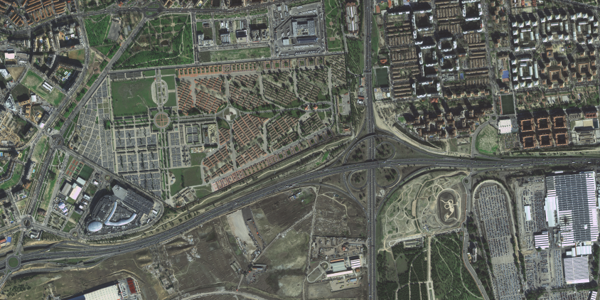
According to the company, the resolution of the surface images, which can be ordered through the EOSDA LandViewer service, will be between 0.3 and 0.8 meters. It all depends on which satellite is used to capture the images.
The best resolution of 0.3 m is offered by Beijing-3N and SuperView NEO-1. This is followed by SuperView-2 and KOMPSAT-3A with a resolution of 0.4 m/pixel, as well as Beijing-3A, SuperView 1, SuperView 2 and SuperView 1, whose images have a resolution of 0.5 m/pixel. Finally, TripleSat offers a resolution of 0.8 m/pixel.
Partner publication
